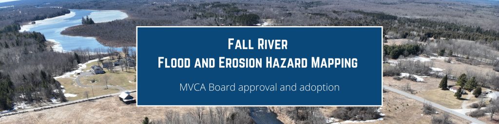
On January 12, 2026, The Board of Directors adopted the Fall River Regulatory Flood and Erosion Hazard Mapping report and associated maps, dated December 2025. This study delineates areas along the Fall River and Bennett Lake that are susceptible to erosion and flooding during the 100-year flood (the regional flood standard in MVCA’s jurisdiction).
The associated GIS-based floodplain, erosion hazards and regulation limit lines will used in the implementation of Ontario Regulation 41/24. This is relevant to anyone planning to build, renovate, or develop along the Fall River and Bennett Lake.
For more information and to review the final maps visit: Fall River Regulatory Floodplain Mapping – MVCA.
For more information about the planning and permitting process and for a list of frequently asked questions, please visit: Development & Permits – MVCA