Review the agenda package prior to the meeting.
Continue Reading Policy and Planning Advisory Committee Meeting


Review the agenda package prior to the meeting.
More Details
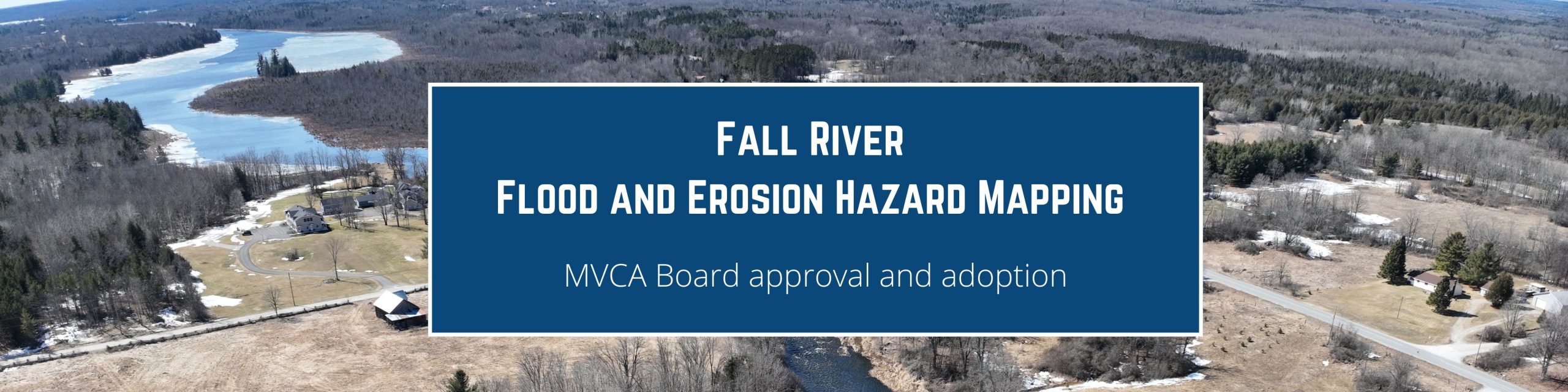
On January 12, 2026, The Board of Directors adopted the Fall River Regulatory Flood and Erosion Hazard Mapping report and associated maps, dated December 2025….
More Details
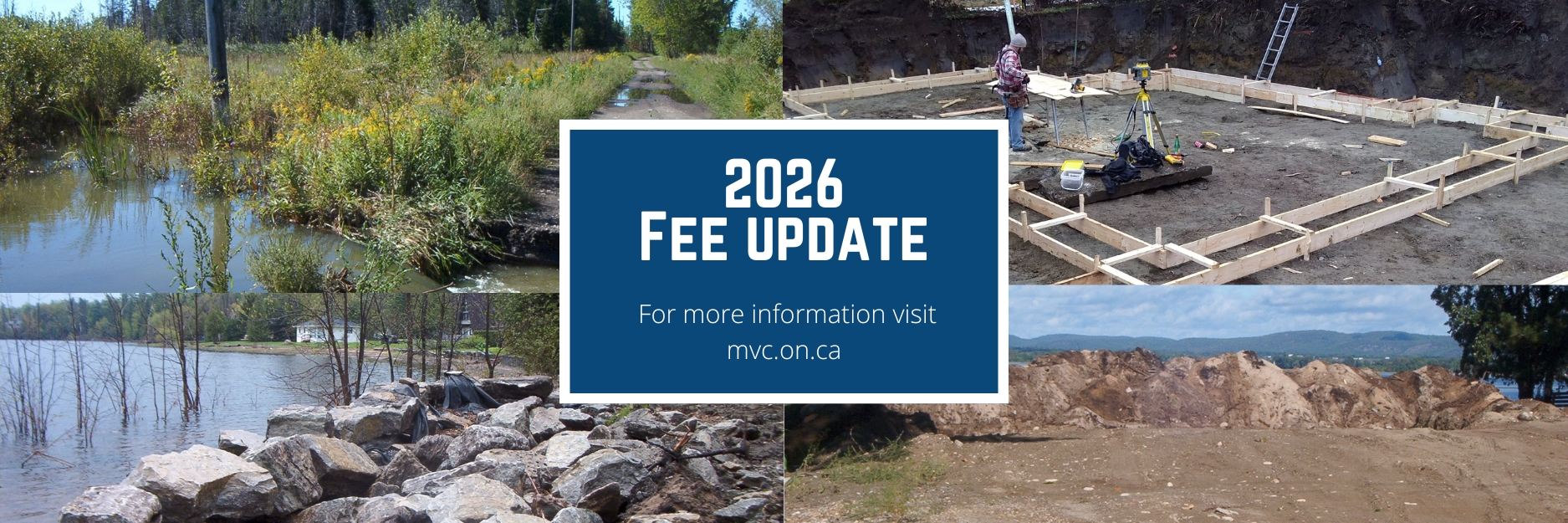
MVCA is proposing changes to the fees for Planning and Regulation reviews under Ontario Regulation 41/24, Prohibited Activities, Exemptions and Permits and Technical Report…
More DetailsFebruary 5 @ 12:00 pm - 1:30 pm
Review the agenda package prior to the meeting.
Continue Reading Policy and Planning Advisory Committee Meeting
On January 12, 2026, The Board of Directors adopted the Fall River Regulatory Flood and Erosion Hazard Mapping report and associated maps, dated December…
MVCA is proposing changes to the fees for Planning and Regulation reviews under Ontario Regulation 41/24, Prohibited Activities, Exemptions and Permits and Technical…
Review the agenda package prior to the meeting.
MVCA recently completed regulatory flood and erosion hazard mapping for the Fall River from the Village of Maberly to…
Continue Reading Fall River Regulatory Flood and Erosion Hazard Mapping
Review the agenda package prior to the meeting.